Lidar and photogrammetry surveys by drone for the calculation of volumetry and quantity report of your quarries and sandpits.
The use of technology for volumetric calculations in a sand quarry is very profitable, whether it is by taking photos, weighing or using drones, it is possible to considerably improve the royalties paid to municipalities.
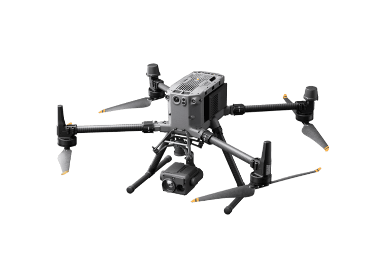
The drone for Quarries and sandpits
Benefits
The drone is a clean and non-polluting technology that should be favored.
Allows you to reach isolated areas at a lower cost.
Accessible and less and less complex to use.
Deployment and data acquisition time is faster by drone.
Volumetric tracking by drone is nowadays more and more accessible, as an external service or by integrating the drone within your organization.