The drone for precision agriculture

Precision agriculture and aerial imagery in crop monitoring

Artificial intelligence and data collection are disrupting agriculture and offering limitless possibilities. With the help of drone technology we offer image capture, data collection and processing services. We also offer drone rental and sales as well as pilot training and data processing software.

During the seasons, with the help of multispectral cameras, we collect precise information on the health of your plants for targeted interventions and optimization of yields and reduction of costs associated with crop treatments.
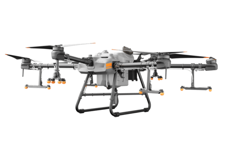
The advantages of using the drone in Agriculture

High flight frequency.

Wide variety of sensors available.

Easy and fast deployment.

Very high spatial resolution.

Possibility to visualize the data right after the flight.

The different applications of the drone in Agriculture

Validation of the irrigation with thermal camera;

Detection of stress: hydric, presence of fungi, parasites and other diseases) with multispectral camera;

Estimation of vegetation cover or vegetation index (percentage of vegetation and non-vegetation, weed monitoring) by multispectral camera;

Characterization of plant cover such as biomass, leaf area index or plant identification by multispectral camera;

Topographic survey of the terrain with a photo camera;

Inventory taking and vegetation mapping by photo camera;

Follow-up of events such as fires, cuttings, by photo camera.

You are interested in our service offer for the industry?

Fill out this form and a representative will contact you shortly.